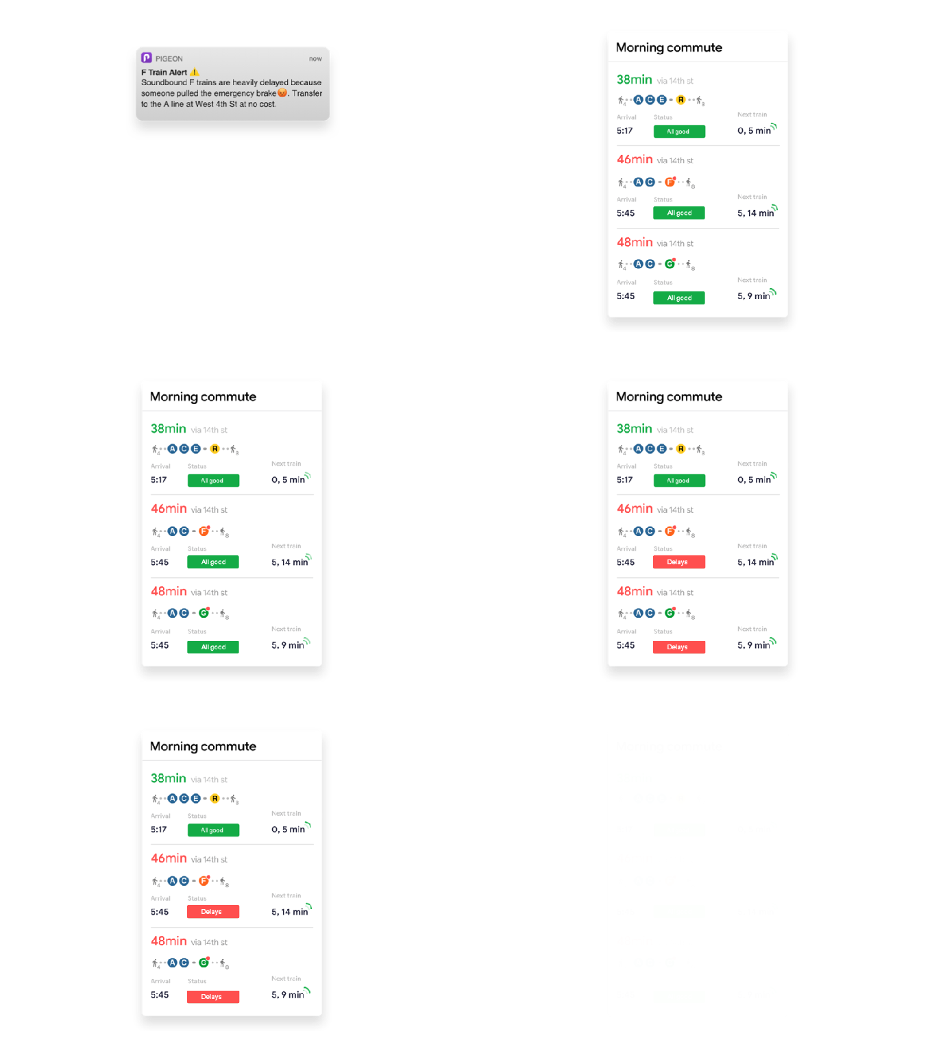
Crowdsourced transit app Pigeon, developed within Google’s Area 120 lab for experimental projects, is today rolling out to five new cities across the U.S., in addition to New York — including Boston, Chicago, Los Angeles, San Francisco, and Washington D.C. Unlike traditional transit apps that rely on schedules and updates from a local transit authority, Pigeon takes more of a Waze-like approach where commuters help one another by reporting delays, crowds, and other issues.
The result is a transit app that can better inform users about unexpected incidents, as well as real-time crowds and offer more context about delays. The app will also send out alerts to users about things like power outages or major service changes, in addition to personalized alerts sent before commuters leave their home or office so they can plan around the delays, reroutes or weather-related incidents.

While the app’s goal is to offer better transit information to riders, it’s also working to develop a community within Pigeon.
Similar to Waze where users establish profiles and communicate with friends, Pigeon offers a social component. Users can post not only about delays, but also other transit happenings with both comments and images. These reports are then shared along a rider’s route in an activity feed.
For example, users may post about dirty or unsafe conditions, crowds, or escalator outages, then share a photo along with that information. But some of the posts may be more positive — like those applauding a local entertainer or noting a cute dog.

If anything, Pigeon could encourage more of these kinds of social posts as its users, unlike on Waze, aren’t stuck behind the wheel and only able to quickly tap a button to share a report with the crowd.
However, even users who don’t want to contribute directly can benefit from the app’s push notifications about unexpected delays and incidents.
The app was developed internally at Google, through its in-house incubator Area 120, and launched to New York users in September 2018. (TechCrunch actually spotted it go live in May 2018, but Google wasn’t sharing much information at the time.)
Since then, Pigeon has helped its early adopters across hundreds of thousands of transit trips each month, the company says. It’s also releasing an NYC Subway Insights Report detailing some of those learnings — like which lines had the most rush-hour delays or most crowds, which station was reported to be the hottest in the summer, and more.
Google’s app isn’t alone in tackling public transit from a new angle. Startups like Transit, Moovit, Citymapper, and others are also participating in this space — sometimes with their own crowdsourced components.
Today, Pigeon is live on iOS in these half-dozen U.S. cities and supports transit information for subway, bus, rail, ferry and cable car.
Android users can sign up for the waitlist to be alerted as to when Pigeon becomes available.
